
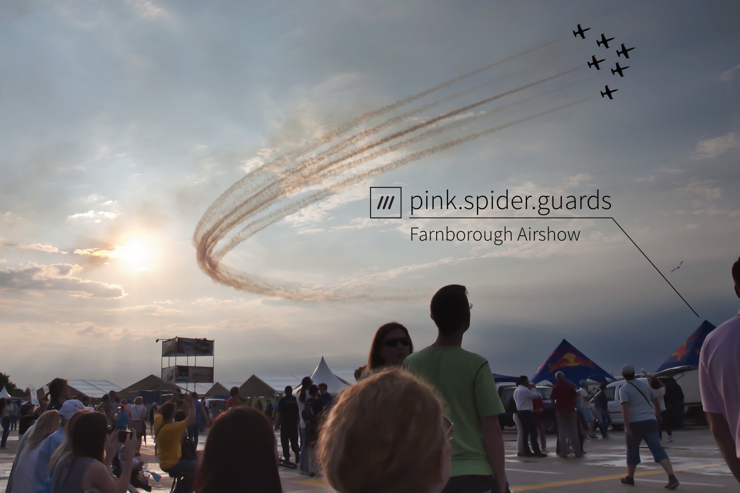
3 words to run an event with Earth-i & Farnborough International Airshow


For any festival, event or a major trade show like the Farnborough International Airshow (FIA), addressing on-site can be a challenge. Equipment delivery, clean up, security and medical team response all rely on a simple way to talk about location. These events take place in areas without street addressing and whilst GPS coordinates are accurate, they are prone to errors when communicated. The lack of a simple system means the only option is to resort to descriptive addresses, which are error-prone and inaccurate (think “I’m here, near the front end of the big white plane…”).
what3words is a global location reference system that has given every 3m x 3m square on the planet a fixed and unique 3 word address. By combining Earth-i’s high-resolution imagery with the what3words grid, the FIA team have an up-to-date map of the entire area, with an address of every 3m x 3m square of the airfield and exhibition site. This is then used to manage logistics, visitor direction and emergency response.
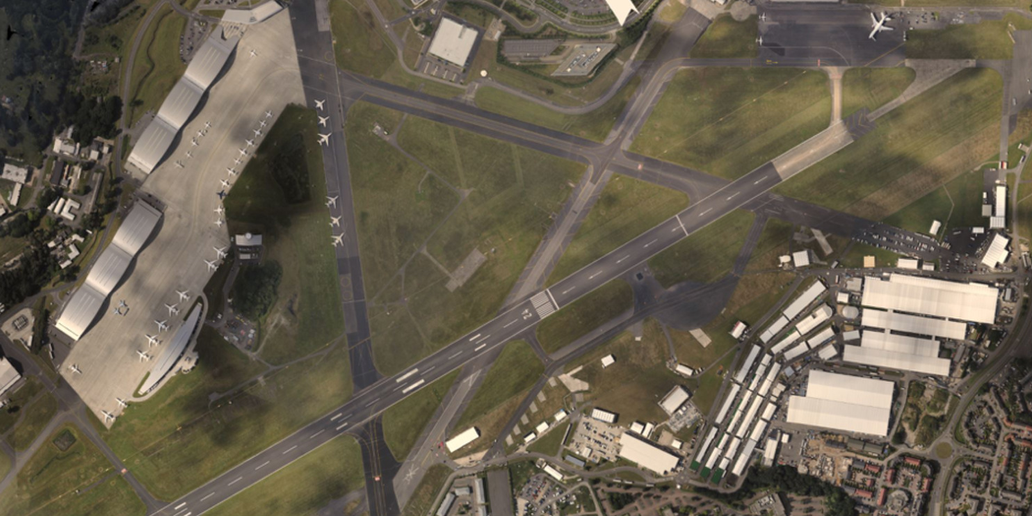
Selecting from Earth-i’s various imagery sources, Earth-i acquired a large amount of data from a manned aerial platform taking images from multiple angles to build a highly accurate 3D model. The data was then processed at Earth-i to produce a single, 9cm resolution plan-form image using the 3D model to correct the different image view angles. These images were then divided up into tiles ideal for internet delivery and provided in a format that could slot straight into a web map. From collection of the data, to delivery of a multi-scale zxy image to what3words took just three days.
On receipt of the finished image what3words overlaid their 3m x 3m grid system to integrate it with the optical data from Earth-i. This means the FIA operations team can react efficiently to situations that arise, knowing exactly where everything and everyone is. So a team member in the field can simply say, “I need backup at ///friday.visit.look ” and others can navigate there easily, while the team in HQ can see exactly where this location is, using the image of the site overlaid with what3words. The map of Earth-i imagery plus what3words allows for visualisation of the site assets and infrastructure, along with both 3 word address search and discovery.
Earth-i and what3words work closely together to deliver geospatial and information solutions that tackle practical problems faced by governments, business, organisations and agencies every day. Remote sensing when combined with what3words means all the power of very high-resolution satellite data is straightforward to act upon in the real world. Earth-i imagery is used to accurately identify a point of interest (POI) and being able to label that or any other POI with a 3 word address, they have a simple way to navigate exactly to that point. A satellite image can be used to show dwellings in a new build area or an informal settlement, or at a festival; by overlaying the what3words grid on that image accurate to 3m x 3m, data they get from very high-resolution satellite imagery becomes a practical solution to a real world problem.