Which coordinate format should I use?


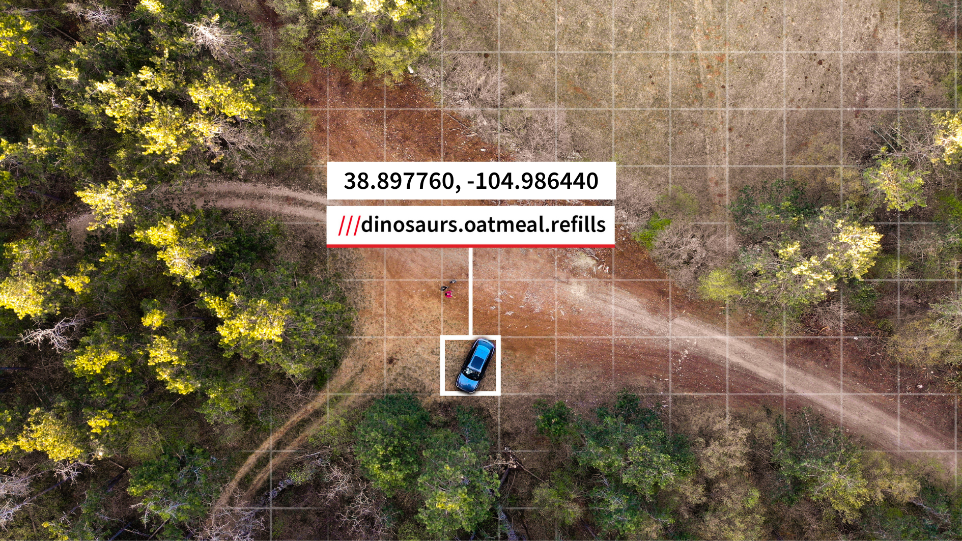
There is no single coordinate format that works best for every situation. The right format depends on where the location will be used next: a map, a spreadsheet, a GPS device, a field team workflow or a conversation with someone on site.
That is why the same location may need to exist in more than one format.
For UK mapping and land references – British National Grid and OS Grid References are widely used in Great Britain, especially for mapping, land, planning, outdoor and infrastructure contexts. They can be useful when a location needs to align with national mapping references.
For digital maps and navigation tools – WGS 84 latitude and longitude is commonly used by global mapping and navigation platforms. Decimal degrees are often the easiest format to paste into digital tools or spreadsheets.
For specialist operational workflows – Formats such as UTM, MGRS and USNG are used in some GIS, mapping, emergency, military and operational contexts. If a project, system or partner already uses one of these formats, it often makes sense to keep working in that format.
For sharing a precise place in plain language – Coordinates are precise, but they can be difficult to communicate out loud or remember. A what3words address gives every 3 metre square a unique three-word address, which can make exact locations easier to share with people who do not work with coordinates every day.
Converting to the format you need
The what3words Coordinate Converter helps when the format you have is not the format you need next. You can convert a single coordinate or paste up to 100 coordinates at a time, with support for formats including British National Grid, OS Grid References, UTM, MGRS, USNG, Web Mercator, WGS 84 formats, Plus Codes, Geohashes and what3words addresses.