How field teams can turn asset coordinates into usable locations


Field teams often work with locations that do not have simple street addresses. Assets might be beside roads, across large sites, in rural areas, on private land or spread across infrastructure networks.
That means location data matters. But it also means teams often have to work across several coordinate formats.
A maintenance record might include a grid reference. A mapping tool might need WGS 84 latitude and longitude. A field worker might need a location that is easier to communicate on site. A project coordinator might have a spreadsheet full of coordinates that need to be checked before jobs are assigned.
Making asset coordinates easier to use
The what3words Coordinate Converter helps teams convert location data between formats including British National Grid, OS Grid References, UTM, MGRS, USNG, Web Mercator, WGS 84 decimal degrees, WGS 84 degrees and decimal minutes, WGS 84 degrees, minutes and seconds, Plus Codes, Geohashes and what3words addresses.
For field asset workflows, this can help teams:
- prepare coordinates for mapping tools
- convert grid references into latitude and longitude
- standardise mixed coordinate lists
- turn technical coordinates into what3words addresses
- share more usable location references with people in the field
Adding what3words to field workflows
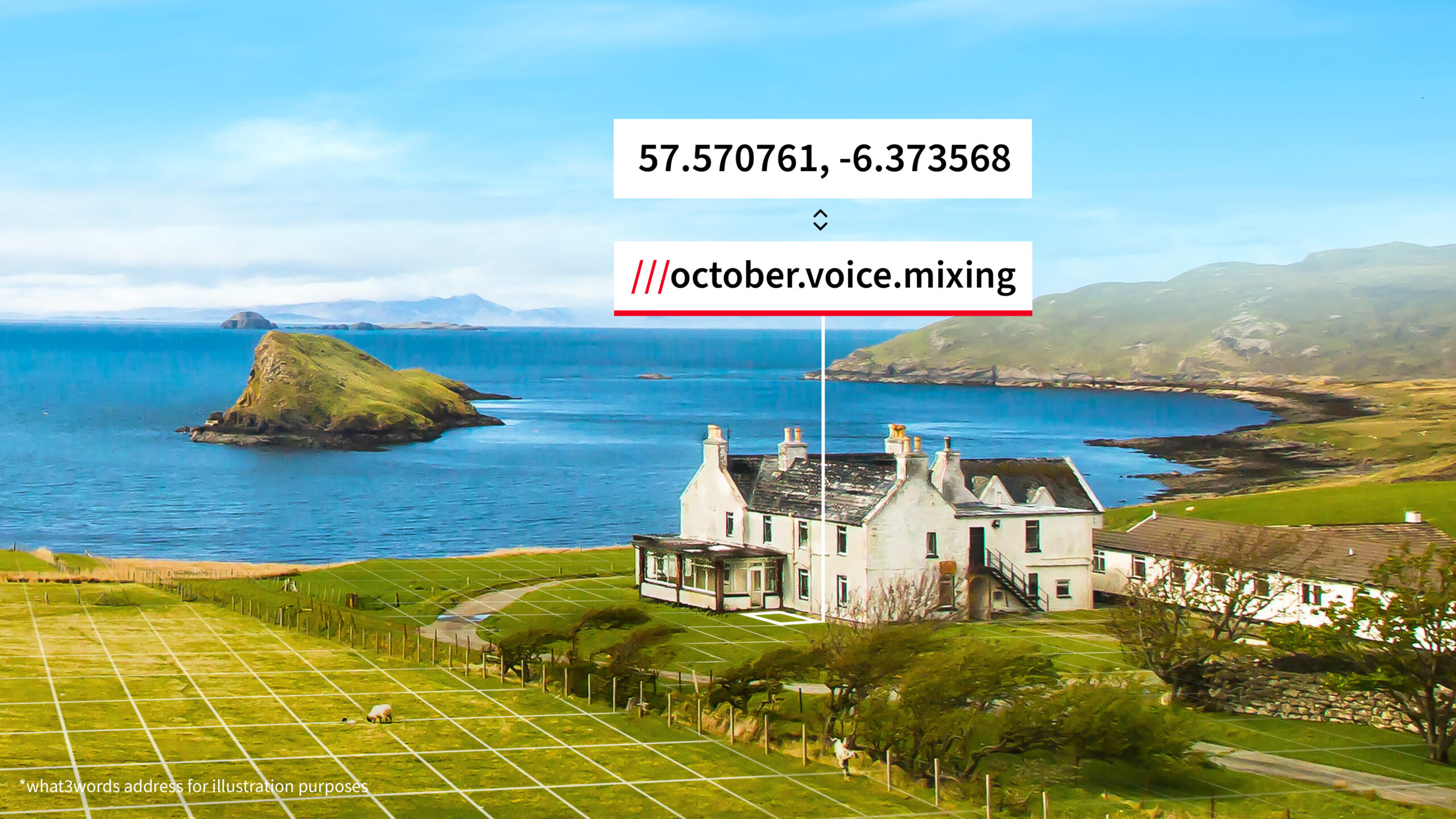
what3words divides the world into 3 metre squares, with each square given a unique three-word address. By converting coordinates into what3words addresses, teams can keep technical coordinate data while adding a location reference that is easier to say, share and use on site.
For teams using what3words addresses regularly, what3words Pro can also help organise saved locations, share lists and plan routes between what3words addresses.