How to batch convert coordinates without doing them one by one


If you have a long list of coordinates, converting them one at a time can quickly become slow and frustrating. A batch coordinate conversion tool helps you take a list of locations in one format and convert them into another, without copying each coordinate manually.
The what3words Coordinate Converter lets you convert coordinates individually or in batches between formats including British National Grid, OS Grid References, UTM, MGRS, USNG, Web Mercator, WGS 84 decimal degrees, WGS 84 degrees and decimal minutes, WGS 84 degrees, minutes and seconds, Plus Codes, Geohashes and what3words addresses.
That makes it useful when different teams, tools or datasets are using different location formats.
When batch coordinate conversion is useful
Batch coordinate conversion can help when you need to:
- clean up a list of site locations
- convert grid references into latitude and longitude
- prepare coordinate data for a mapping or navigation tool
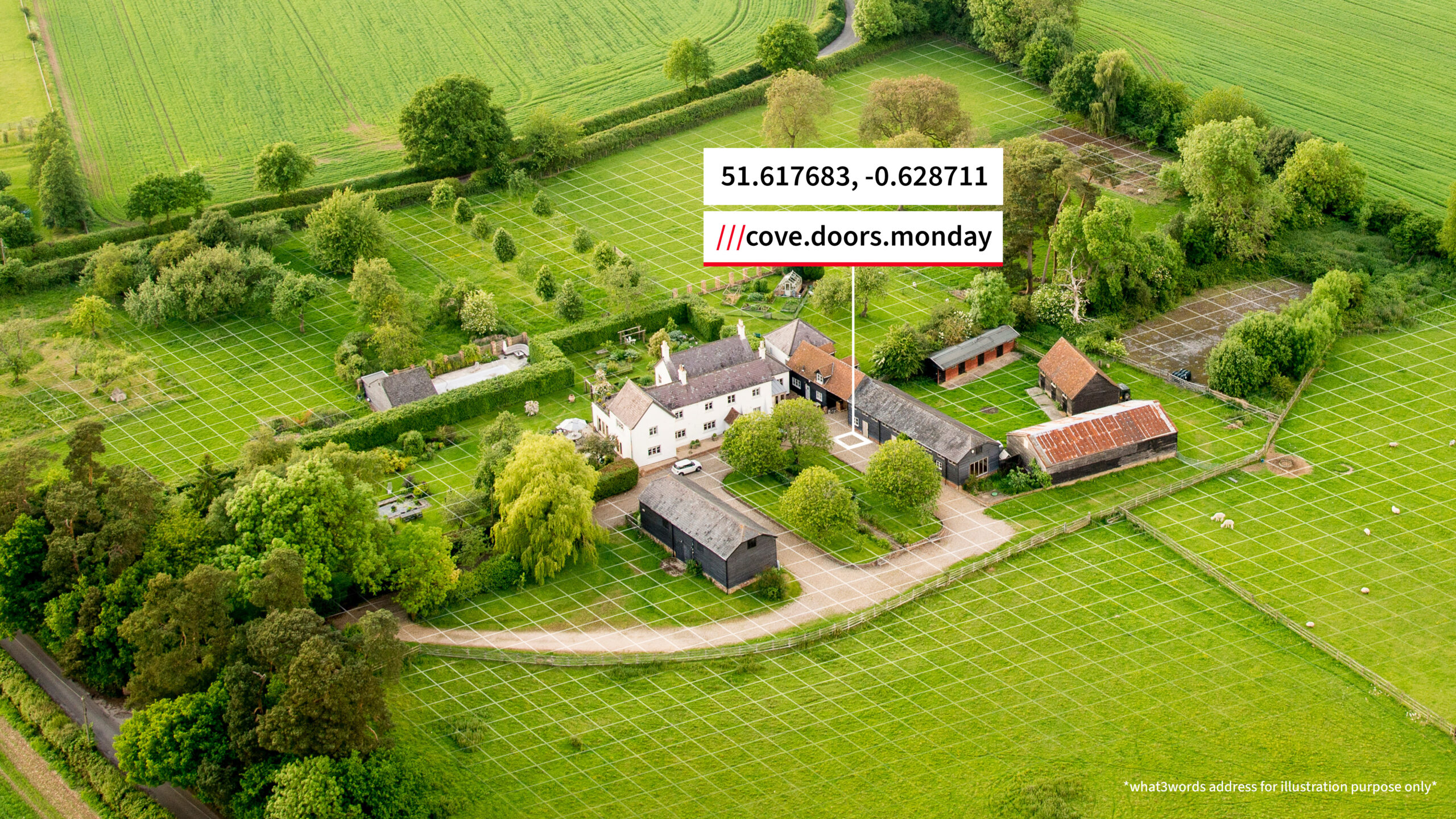
- turn technical coordinates into what3words addresses
- move location data between spreadsheets, reports and operational systems
For example, one team might record locations as British National Grid references, while another needs WGS 84 decimal degrees for a mapping platform. Instead of converting each point separately, you can paste a list of coordinates into the converter and choose the output format you need.
Why coordinate formats differ
Coordinate formats are often shaped by the country, industry or system they were designed for. British National Grid and OS Grid References are widely used in Great Britain. UTM is used in many mapping and GIS workflows. WGS 84 latitude and longitude is commonly accepted by mapping and navigation platforms.
The challenge is not that one format is always better. It is that teams often need to move between them.
Try the what3words Coordinate Converter
The new what3words Coordinate Converter supports both single and batch coordinate conversion, with up to 100 coordinates at a time. You can choose the input format, paste your coordinates, select the output format and convert them into the format your team needs.